

Technological advances are changing the way properties are identified. Interactive maps give property owners a much better line of demarcation for where their property ends and the buffer begins. This new development streamlines a notoriously complicated process, allowing for accuracy while saving time. Exploring this method helps to study and understand property boundaries without professional assistance.
Knowing Your Property Lines
Property boundaries are invisible lines separating land and marking ownership. They can be established through legal descriptions, deeds, and survey maps. Legal descriptions specify the size and shape of property and are mandated to identify legitimate boundaries. However, reading these documents takes some expertise. Hence, interactive maps are a helpful solution. An app for property lines can help you do this.
Why Interactive Maps?
Interactive maps offer easy access. These digital tools are updated in real time, unlike paper maps. They allow users to zoom in without hassle, providing a closer look at different areas. Therefore, interactive maps customize boundary detection and handle how elevation is performed. They add interactivity and visual appeal, which makes looking up properties for sale interesting.
Navigating the Interface
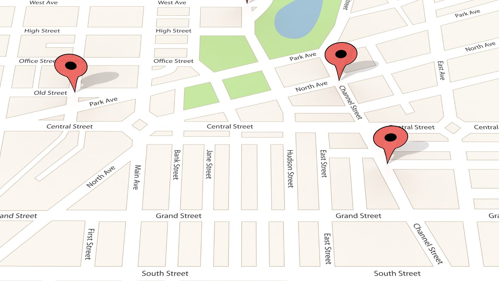
Getting started with interactive maps may sound intimidating. However, they are made easy to use, as users can confidently navigate the app after using the interface a few times. Usually, these platforms have a user-friendly interface and detailed panels. The interactive map offers layers that display various data, such as zoning lines, topography, and satellite images. Users build thorough assessments of their property lines by toggling these layers.
Utilizing Search Functions
A particularly useful function in most apps is the search function. It allows users to quickly enter addresses or coordinates to find properties of interest.
However, in some cases, interactive maps allow users to search neighborhoods, meaning the user can identify boundaries larger than a single property. Users get a clear view of the borders by selecting the required region with minimum input.
Different Layers to Observe for More Clarity
Boundaries are multifaceted, so each layer provides another form of insight. They show not only current property boundaries but also the history, zoning regulations, and neighboring assets. Such extensive insights help you learn about potential expansion options or limitations on property use. Through these layers, property owners assess and act according to what is deemed fit for success in the future.
Technology and the Quality of Accuracy
Different technologies are used to ensure the accuracy of digital maps. For instance, a Geographic Information System (GIS) provides spatial data that accurately represents geographic components and related phenomena. Moreover, governmental organizations and municipal authorities widely use this technology, making the data more reliable and accurate. Hence, users trust this.
Disseminating Information to Interested Parties
Interactive maps aren’t just about serving people in general. Professionals find them incredibly useful. Stakeholders like real estate agents, surveyors, and urban planners appreciate the convenience of sharing data and visuals. This open accessibility promotes transparency, leading to much smoother and more efficient collaborative projects.
There is also no mismatch within teams, as territory boundaries are clear, leading to fewer boundary disputes.
Future of Boundary Identification
Innovation and technology are expected to enhance interactive map experiences. New-age tools are expected to take these capabilities even further, providing more detailed information and an easier path to find them. As this technology advances, unique ways of viewing property lines will emerge, including Augmented Reality (AR) or Virtual Reality (VR).
Tips for Effective Use
Even though property boundaries are easily identifiable with interactive maps, specific strategies can boost productivity. Start by outlining the information you have. Next, explore each tool in depth. Incorporate updates as often as they come since platforms are always advancing functionality. Start with map accuracy and crosscheck it with official documents to avoid potential legal trouble and enjoy peace of mind.
Conclusion
Nothing beats the power of interactive maps when it comes to property lines. With easy-to-use features that provide detailed insights, anyone can confidently determine property limits quickly. Enthusiasts and professionals in the real estate world benefit from this process as it makes boundary disputes rare, thanks to this easy process. These new initiatives will hugely benefit property management as technology leads the way.